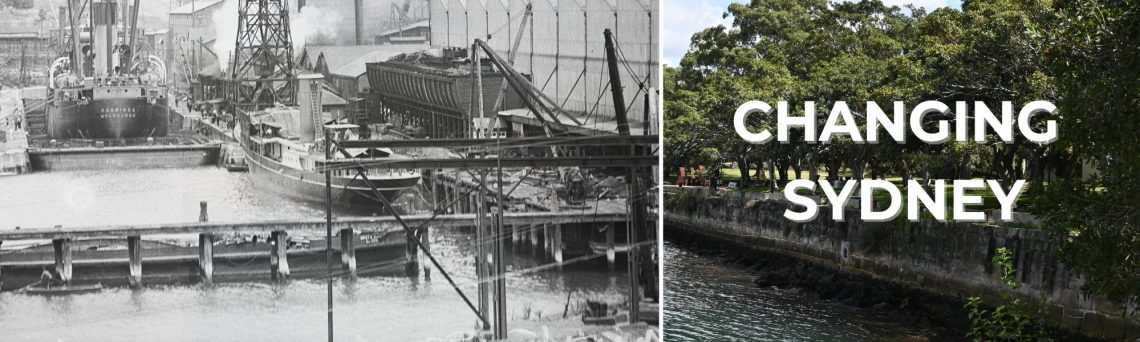
For the last century, Iron Cove Creek has literally been regarded as a backwater – hidden behind houses and off-limits to the public, with no purpose other than to drain land and transport wastewater to Sydney Harbour.
Now, thanks to a community campaign, action is underway to unlock the immense potential of the corridor, by turning it into an open space, active transport and environmental asset.
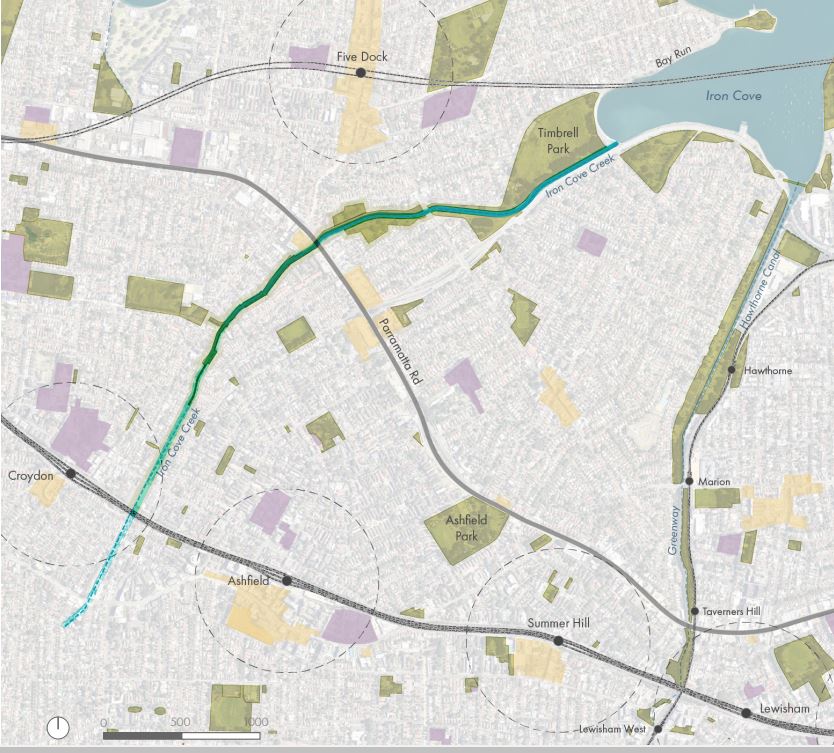
Inner West Council has commenced consultation on a draft masterplan for the Iron Cove Creek corridor, which runs for 3.5km between Ashfield/Croydon and Haberfield/Five Dock (the creek serves as the boundary between each of the above suburbs).
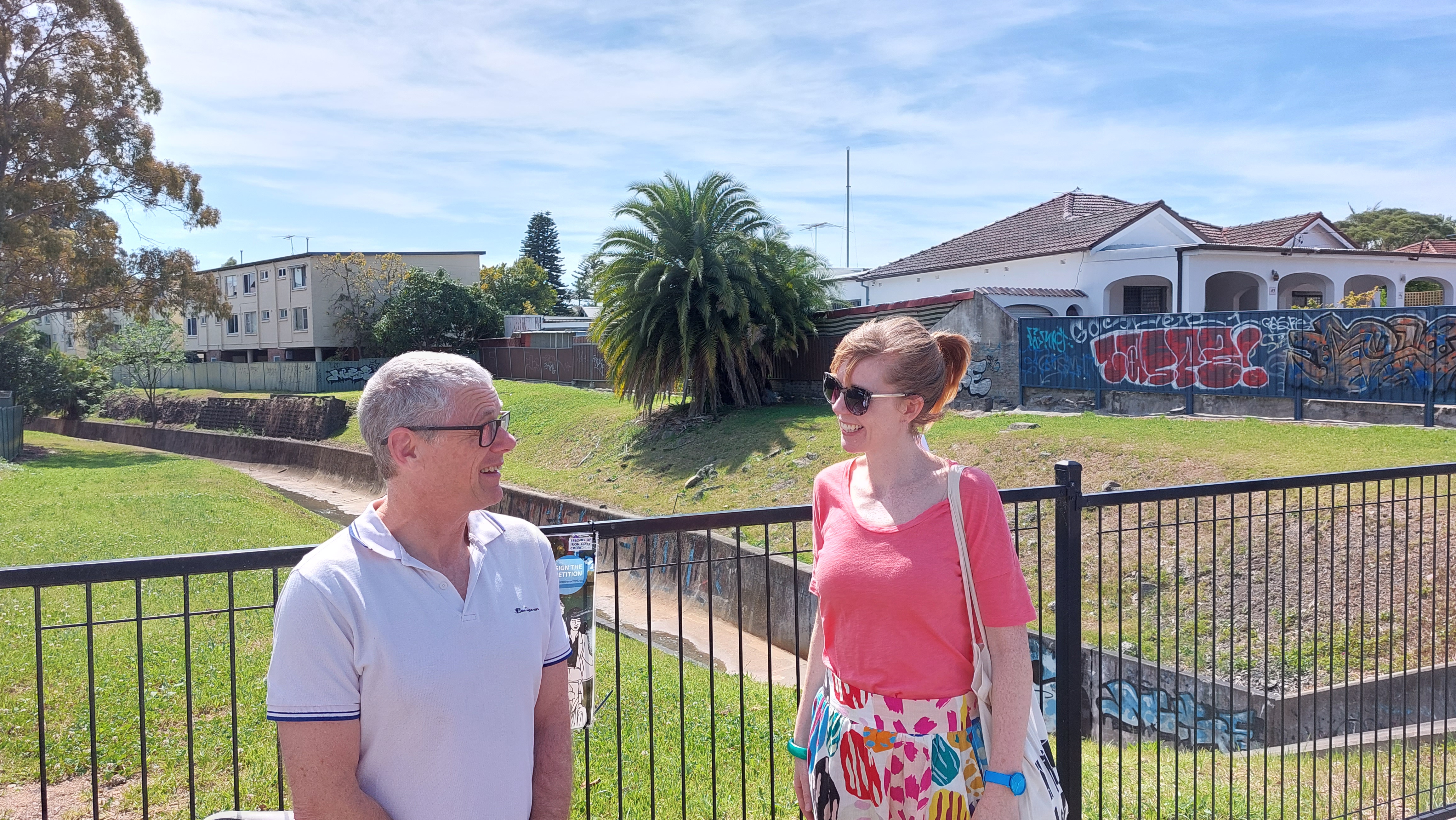
Sydney Insider toured the length of the corridor, and met the forces behind the community advocacy group Friends of Iron Creek, to get a better understanding of what’s proposed.
What became clear from this research was that this corridor contains areas of huge opportunity, along with other areas with tough challenges – which means there may need to be some compromises for the corridor vision to become a reality.
About the corridor
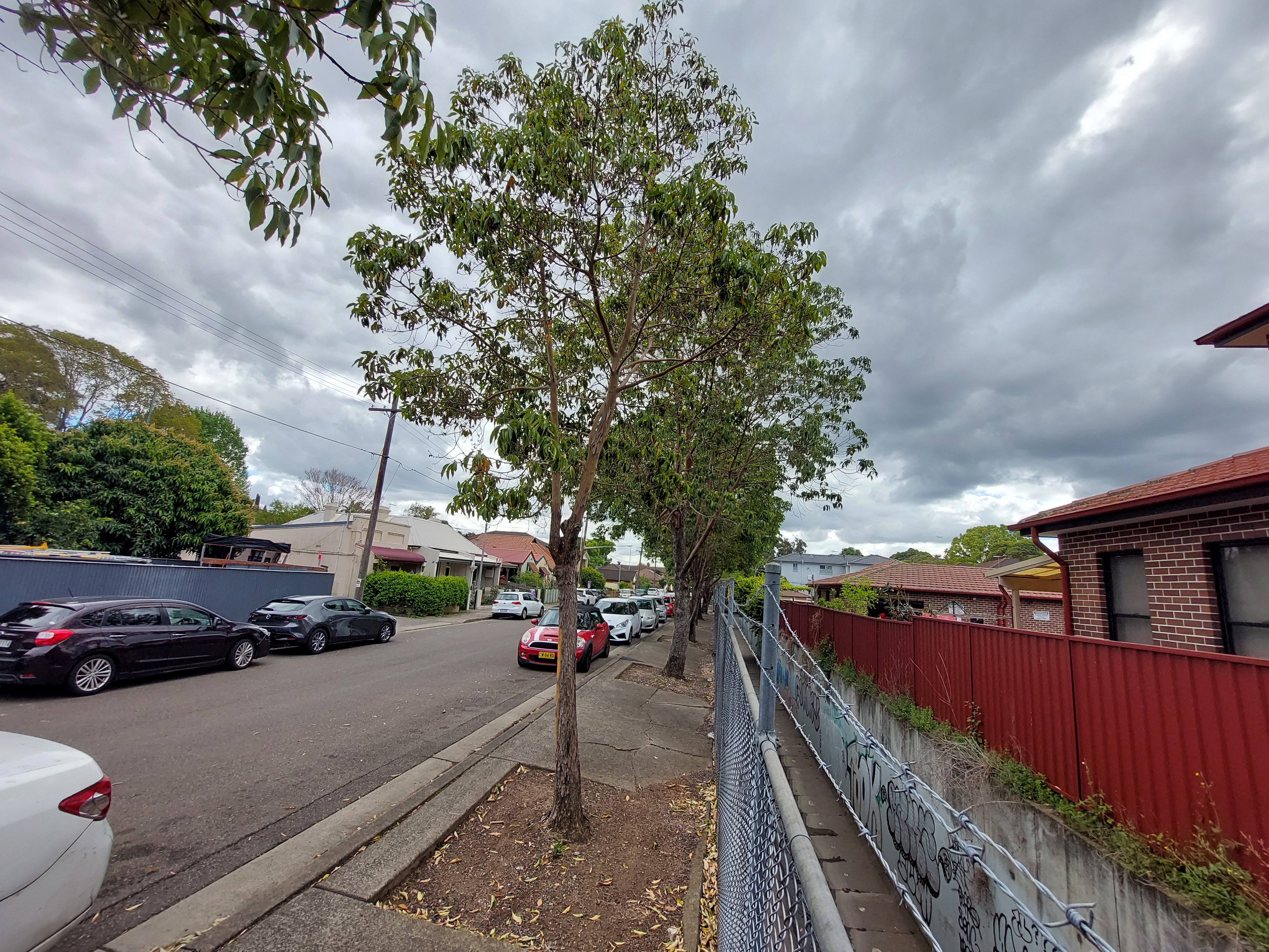
At its far southern reach, Iron Cove Creek (also known as the Dobroyd Canal) first forms as a narrow stormwater drain threading its way between homes, under the main Western railway line and next to Ashfield pool.
The draft masterplan makes it clear that, in this section of the creek, it’s really not possible to place a path over, or next to, the drain.
The main impediment here is the low headroom tunnel running under the main western railway line, which makes it near impossible to construct a pathway over the creek.
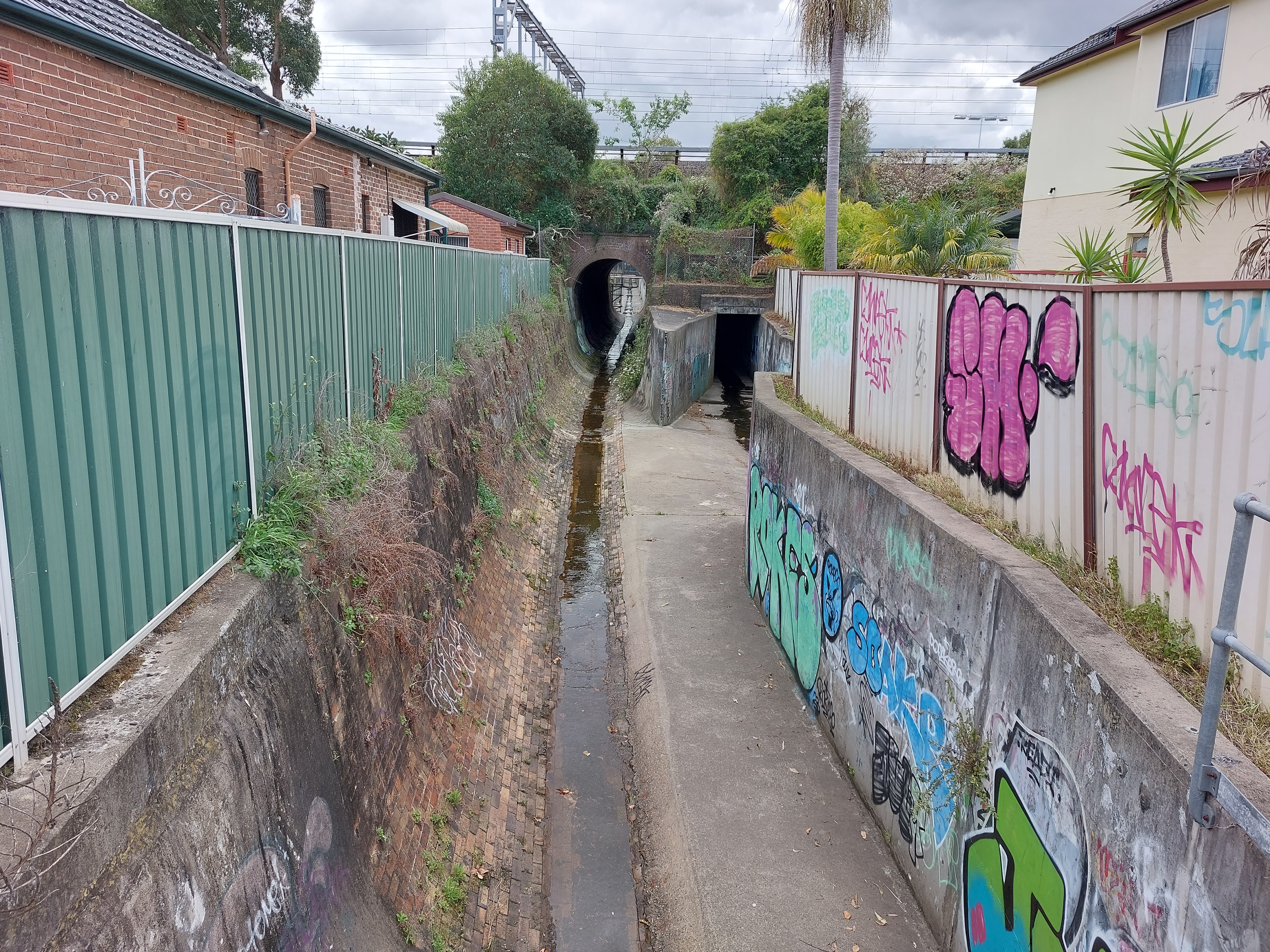
Given this is the case, the draft masterplan instead recommends a detour of sorts, by encouraging cyclists and pedestrians to instead ride along a widened footpath alongside nearby Frederick St (around 100m away from the drain itself).

Moving to the area north of Ashfield pool, the draft masterplan recommends turning a 250m stretch of Etonville Parade into a ‘quiet way’, where people can cycle or walk alongside (but not over the top of) the drain.
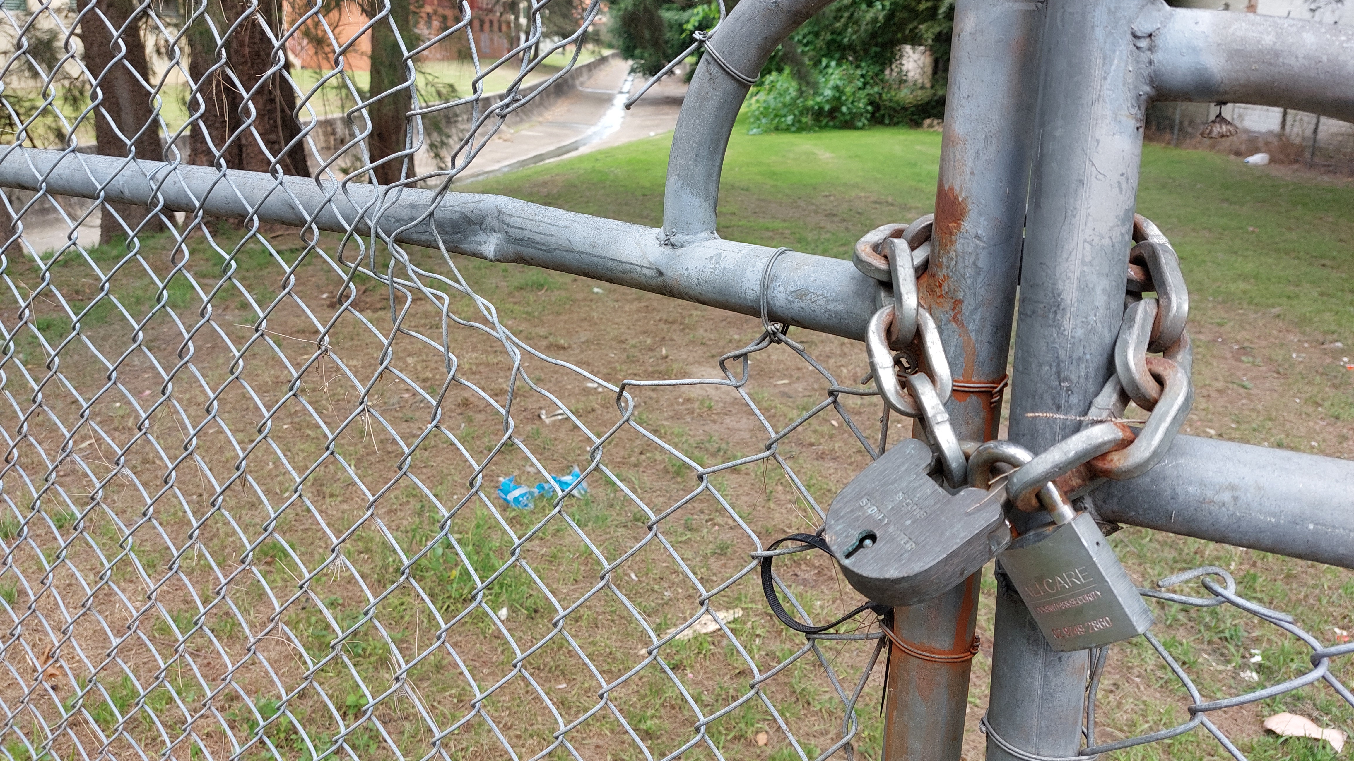
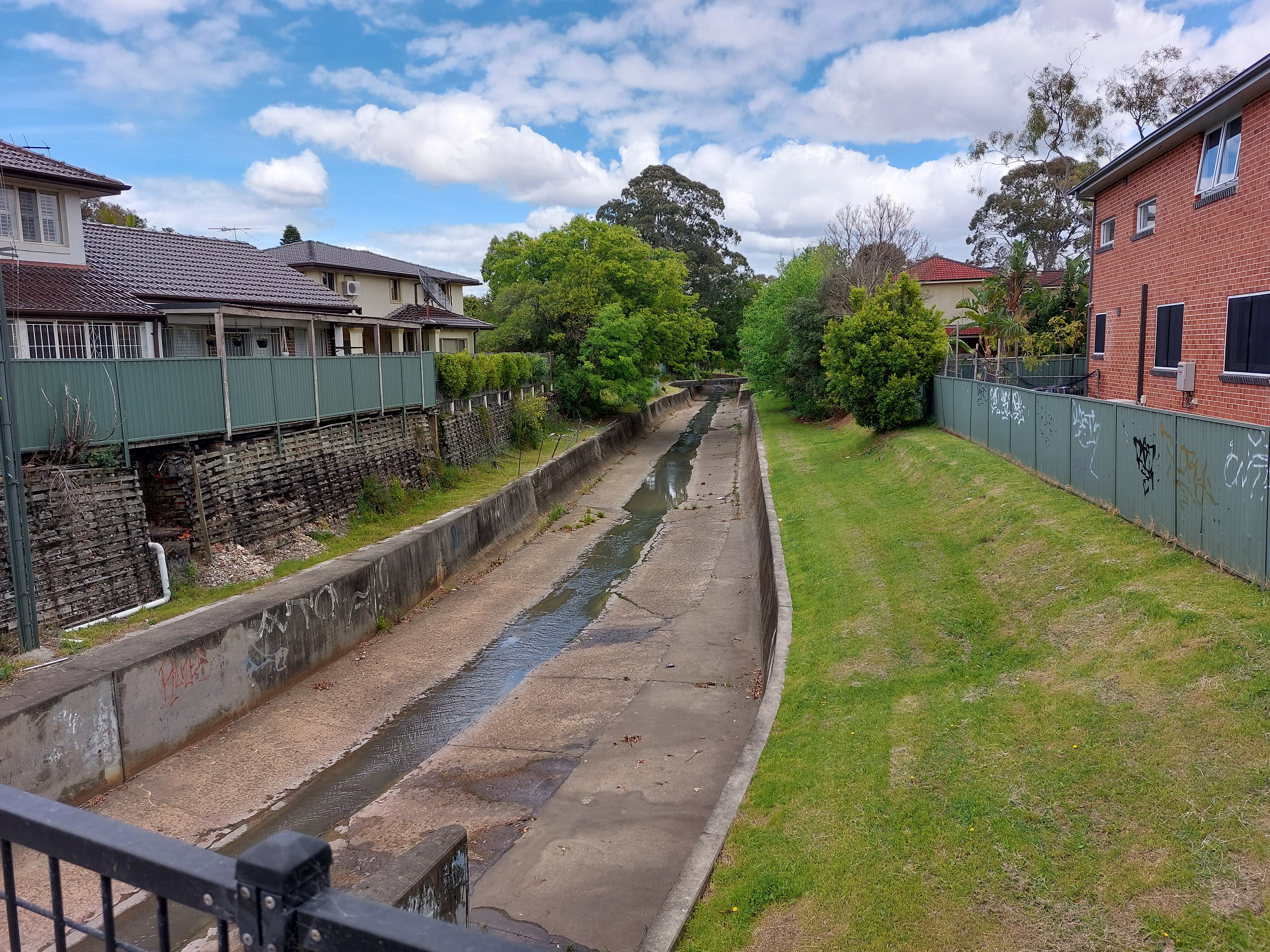
Leaving Etonville Parade, the drain once again threads between homes for a 200m section, with limited or no room between the drain and private property boundaries.
During this section, the draft masterplan proposes – rather optimistically – to build a boardwalk directly over the channel, which may be difficult given Sydney Water’s standard requirements to place such paths alongside but not over channels.

The only other alternative in this section would involve a tedious 400m detour on to local streets, which in my view would tend to diminish the whole point of having a corridor route.
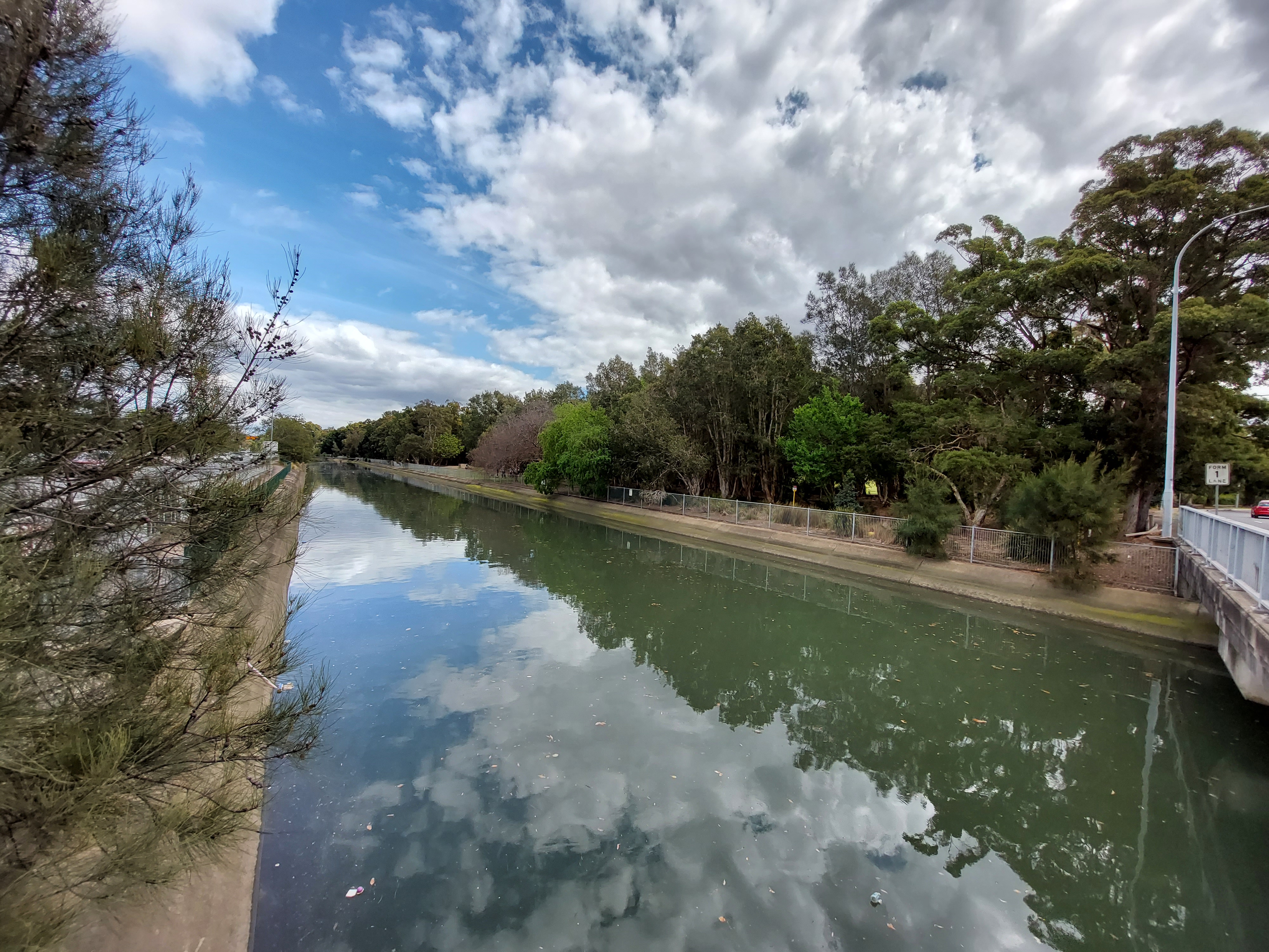
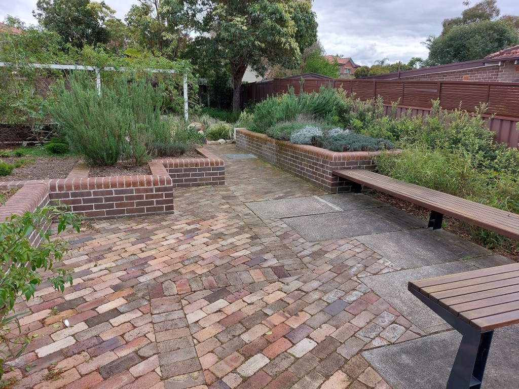
Once the creek is north of John St, the opportunities really start opening up.
At this point, there are suddenly generous amounts of open space along the channel, which makes it conducive to a new public open space ‘greenway’, including a cycling and walking path.
In fact, it seems incredible that – in a city the size of Sydney – this potential open space and environment corridor has remained out-of-bounds and unused for decades.


The next hurdle is Parramatta Rd. The current pedestrian crossing of this busy thoroughfare is simply horrible, requiring negotiating two sets of traffic lights and busy driveways running in and out of service station and fast food complex.
Here the masterplan either proposes an improved at-grade crossing, an underpass using the stormwater channel or a new bridge, or a bridge with lifts. All will be relatively expensive, but transformational for people trying to get around.
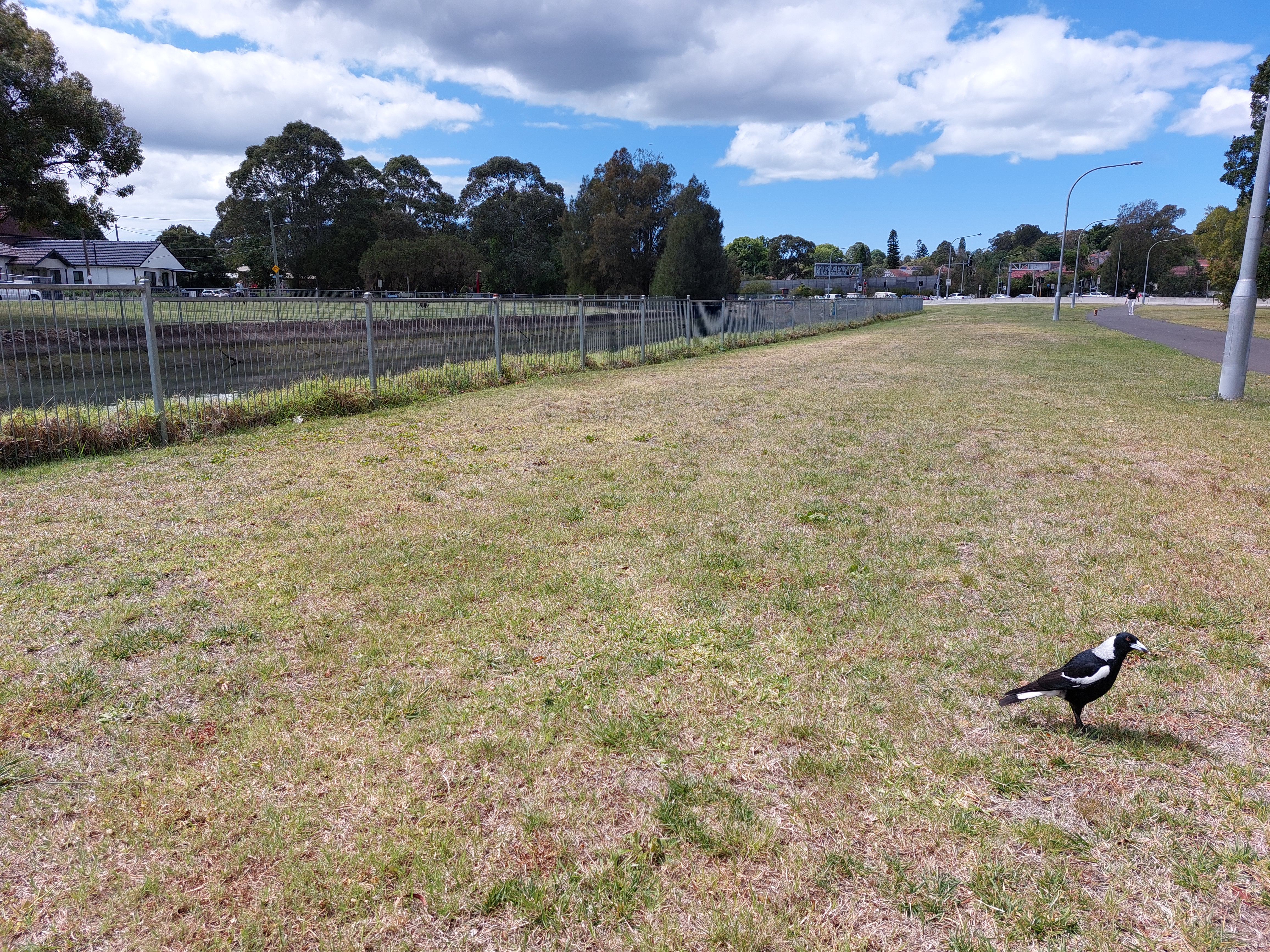
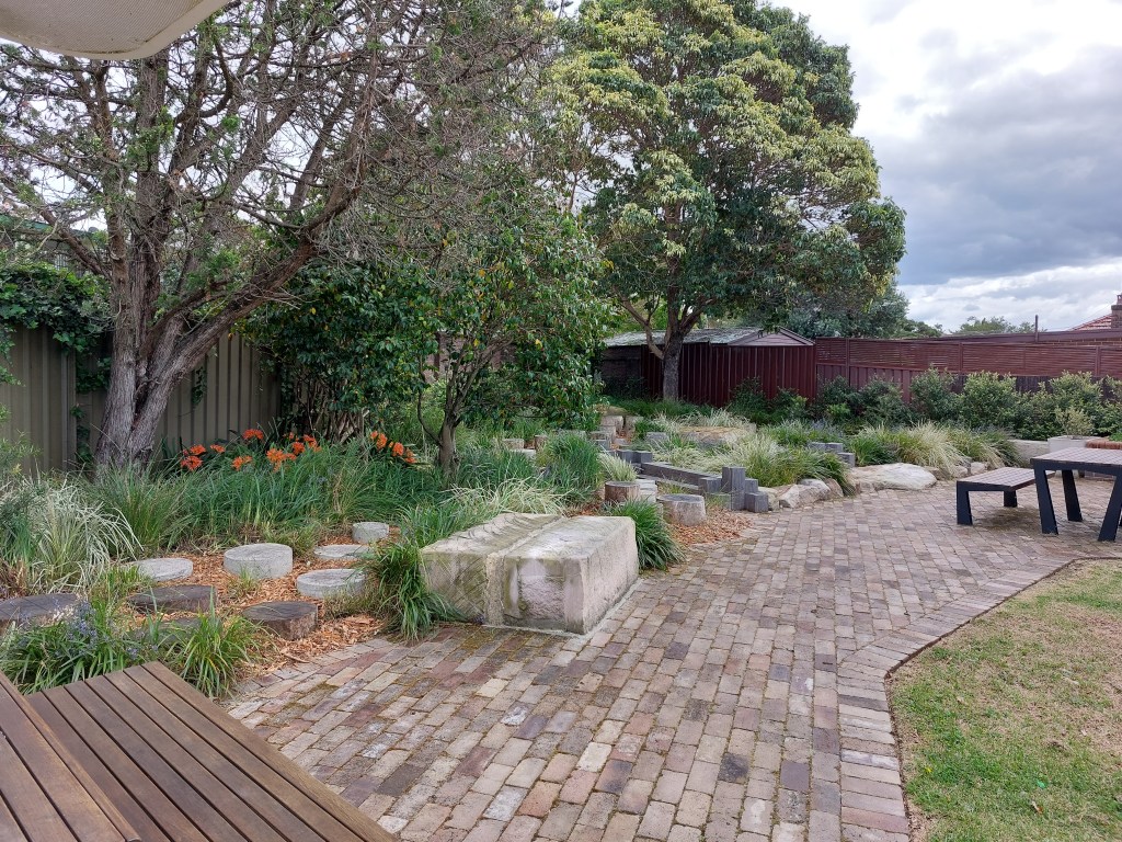
From Parramatta Rd, to where Iron Cove Creek meets Iron Cove, there is an abundant amount of under-utilised open space alongside the stormwater channel, sitting waiting for a purpose and embellishment.
In this area, there are also plans by Sydney Water to naturalise the creek, by ripping up the concrete banks and replacing it with rocks and native plants, and a saltmarsh, lookout and outdoor education area.
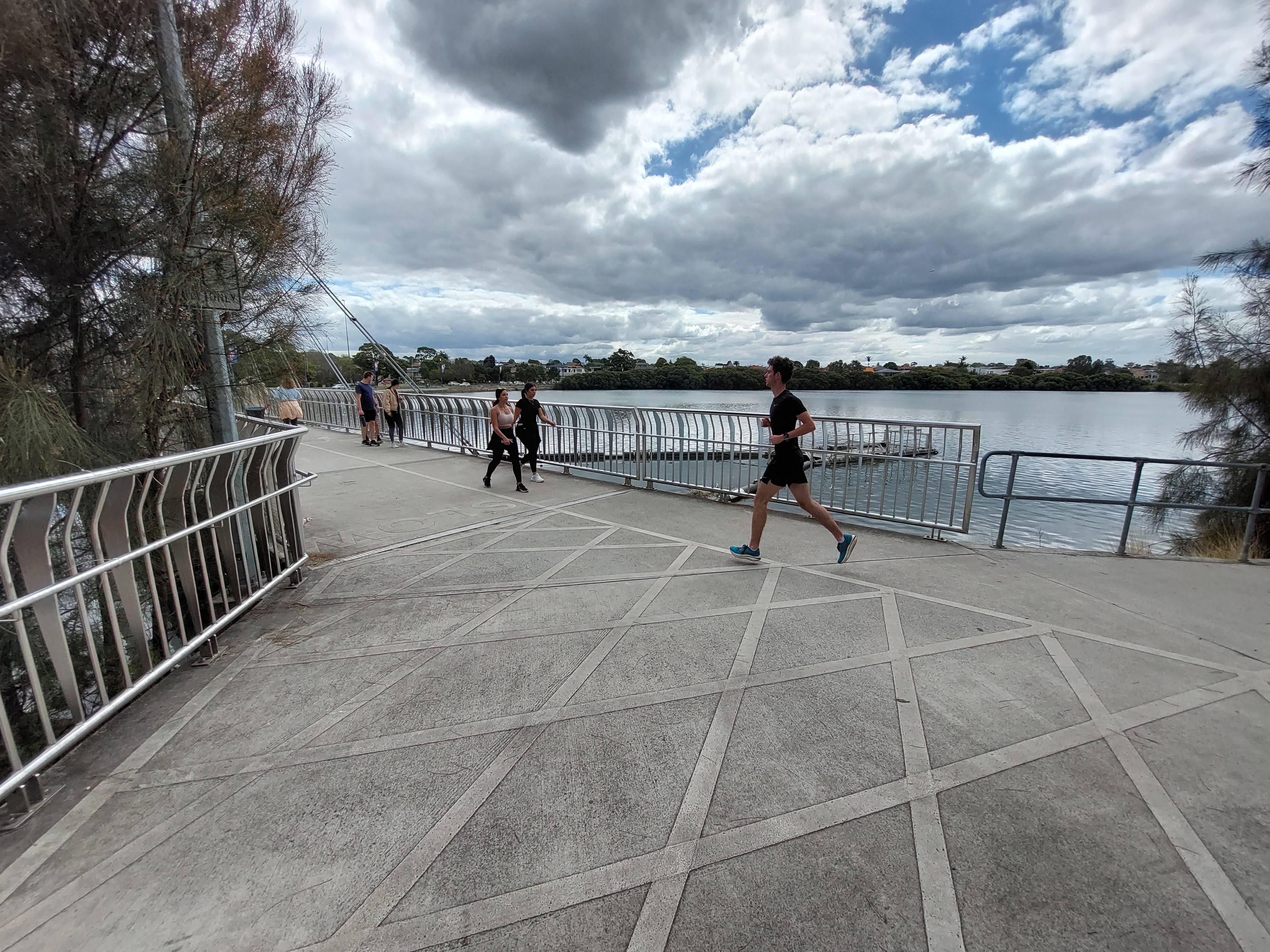
In addition, around this area, a future cycling or walking track along Iron Cove Creek will meet the hugely popular Bay Run, allowing people to explore large swathes of Sydney Harbour and connect with other walking and cycling routes across the city.
Highlights along the way
This outcome in itself reinforces the point that the future Iron Cove Creek pathway will be more than about getting from A to B – it’s also an opportunity to dwell in and explore nearby local features.
One such feature is the Bell Reserve, off Croydon Rd. This little public reserve was the former home of long-time resident Betty Bell, who passed away in 2015. Betty bequeathed the home site to Inner West Council, on the condition it became a park (see photos below).
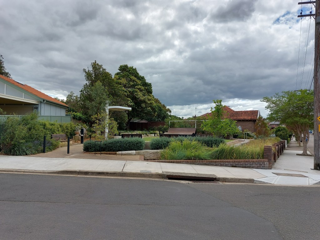
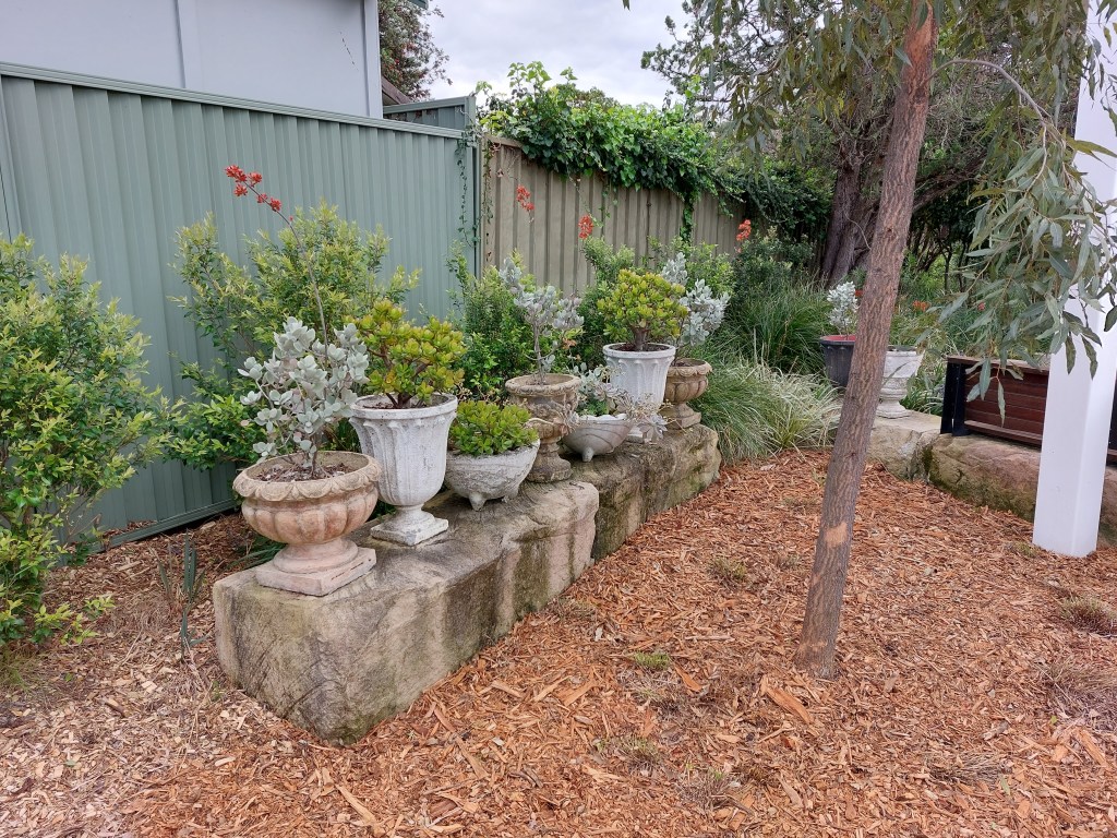
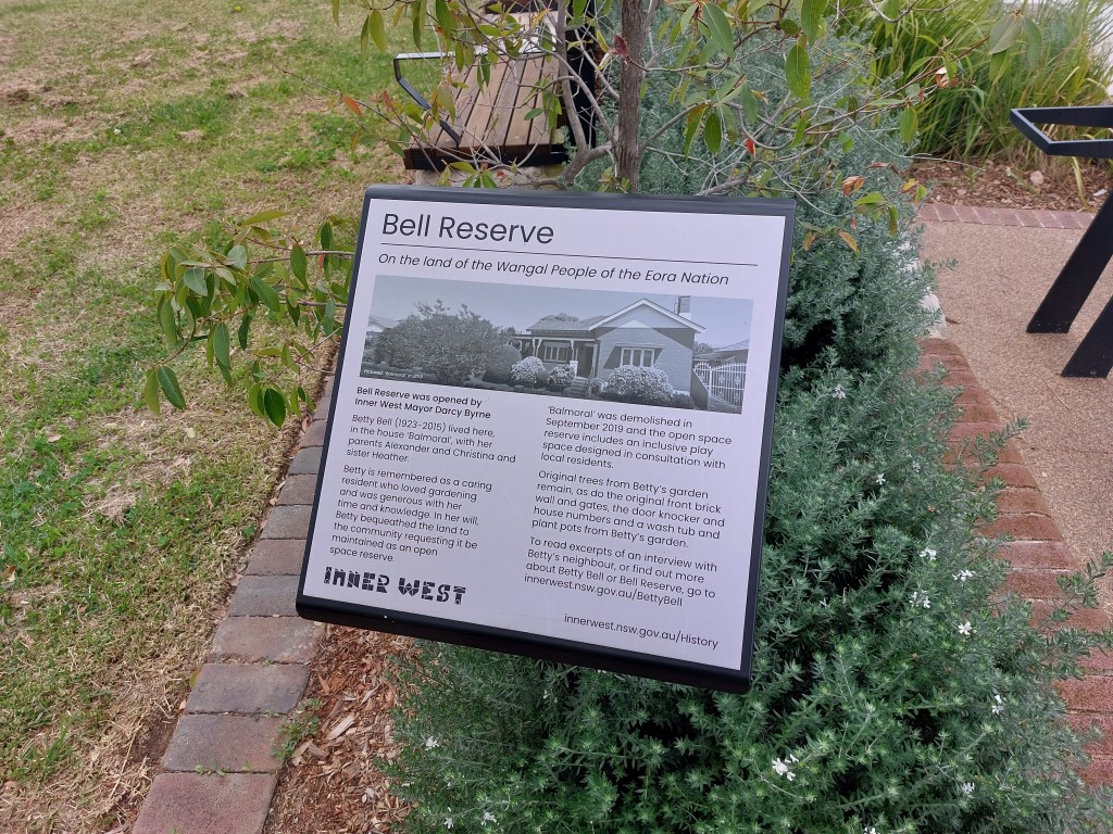
The park retains and celebrates the original trees from Betty’s garden, along with the original front brick wall and gates, the door knocker, house numbers and a wash tub and plant pots. It’s unique and well worth a visit.
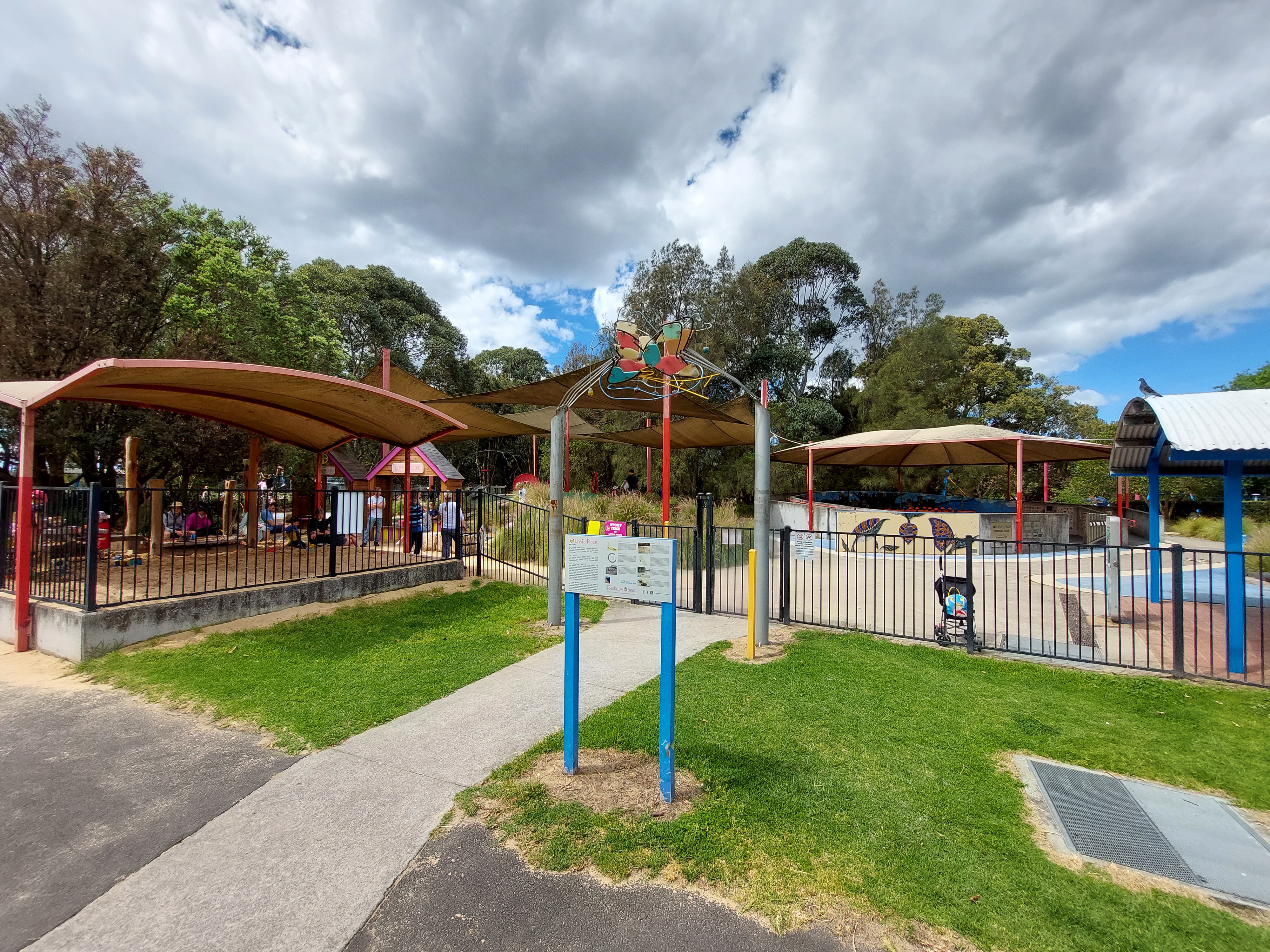
Another feature is Livvi’s Place, a hugely popular all- abilities playground at Timbrell Park, located just off Iron Cove Creek.
A third attraction is neighbourhood favourite Double Dose cafe off Croydon Rd – the perfect place for a mid-journey lunch or coffee.
There’s also the potential that, in the future, the Iron Cove Creek Greenway could be linked (via dedicated on-road cycling paths) to the Cooks to Cove Greenway which is currently under construction. The Cooks to Cove Greenway is partly located alongside another Inner West Sydney Harbour tributary.
Role of the Friends of Iron Cove Creek
The idea of using the Iron Cove Creek as a corridor for local residents and visitors to walk, cycle and access green spaces has been kicking around for decades.
Friends of Iron Cove Creek originated in May 2020 to gauge community sentiment about the idea and to try to generate some momentum from Council to see the concept realised. Members looked to the experiences of the Cooks to Cove Greenway for inspiration.
The group is grassroots, non-partisan and run entirely by volunteers. It formed when two Croydon residents, Anna Harvey and Sarah Low, separately contacted an Inner West Councillor about unlocking the potential of the canal corridor.
Sarah spotted the potential greenway listed in Council’s long-term Integrated Transport Plan in 2020, but it had no timeframe and no budget attached.
Sarah sought advice about when the project would be delivered from a Council staff member, who tried to gently persuade her that the concept would be difficult to achieve and unlikely to be considered in the next ten years.
Anna valued a safe, off-road, active corridor between Ashfield Pool and the Bay Run at Iron Cove. With two young children, she could see that it would improve accessibility and open up more space for parks and playgrounds.
The two formed the Friends of Iron Cove Creek and brought on-board other community members to lobby for the cause. This has included letterbox drops to around 6,000 households, a petition with almost 1,300 signatures, and a survey of 600 residents.
“During the first COVID lockdown, the value and importance of local walking and cycling paths became clearer,” Sarah said.
“We spent a lot of time walking with our kids when not home schooling and working. Access to green space via things like the existing Cooks to Cove Greenway and the Bay Run was cherished.
Anna added: “As a group, we see the potential for the corridor to support a path between Ashfield Pool and Iron Cove, and it was once we connected together that we realised the power of community collaboration and advocacy.”
“We’ve been blown away by the support for this project, and all the positive comments from our neighbours and people living in the area.”
The group was successful in persuading the Inner West Council to allocate $100,000 in its 2021-22 budget , and Council then secured $90,000 from the NSW Government, to fund the development of the masterplan.
What was originally seen as a long-term ‘maybe’ project suddenly became more of a priority.
The draft masterplan estimates the project will cost $18.1m to build, and that excludes the Parramatta Rd crossing upgrade.
In conclusion, while the Iron Cove Creek greenway may have its challenges, it’s a community-backed open space and environmental vision which is worth pursuing to unlock this valuable corridor for broader community use.
Update: At its April 2024 meeting, Council voted as follows:
- That Council endorse the Iron Cove Creek Masterplan
- That Council endorse the preparation of grant funding submissions to upcoming external grant funding opportunities from State and Federal Government agencies for the Iron Cove Creek Masterplan
- That Council determine to spend $500k on designing aspects of the Iron Cove Creek way in the 2024-2025 budget.
Discover more from Changing Sydney
Subscribe to get the latest posts sent to your email.
