The exhibition web page for the second stage of Inner West Council’s Fairer Future plan contains a photo of a mum pushing a pram past two typical low-scale and historic homes.
This photo is very misleading.
The latest iteration of Fairer Future is not focussed on the retention and celebration of homes such as these, but instead on large-scale property development.
It will, in fact, lead to the demolition of many hundreds of the homes shown in the photo, including homes currently protected in heritage conservation areas or listed as heritage items.
And in turn, it will lead to the end of the Inner West as we currently know it (although as noted below some suburbs will remain largely untouched).
On 15 September, the Labor Inner West Councillors, and independent Councillor Victor Macri, voted to put the plan on exhibition, opposed by Greens Councillors.
The plan will result in development control changes in 15 Inner West suburbs, including Croydon, Ashfield, Dulwich Hill, Leichhardt, Lilyfield, Rozelle, Lewisham, Petersham, Stanmore, Newtown, Marrickville and St Peters.
This followed the Council in September last year supporting the first stage of Fairer Future, which mainly focussed on the Transport Oriented Development precincts at Marrickville, Ashfield and Dulwich Hill, along with Leichhardt and Petersham.
The two stages of the Fairer Future plan are the council’s response to the NSW Government’s planning reforms known as Transport Oriented Development (within 400m of train stations) and Low and Mid-Rise (within 800m of town centres, light rail and train stations).
The Inner West community now has just six weeks to absorb around 978 pages of material, and comment on the plans, without the benefit of a briefing from staff or Councillors.
Here’s my top seven takeaways in relation to the exhibited plan.
- It will be a heritage destruction force
In this exhibited stage of Fairer Future, I’ve calculated that around 521 homes will be removed from Heritage Conservation Areas and a further 18 heritage items delisted, often to make way for property development.
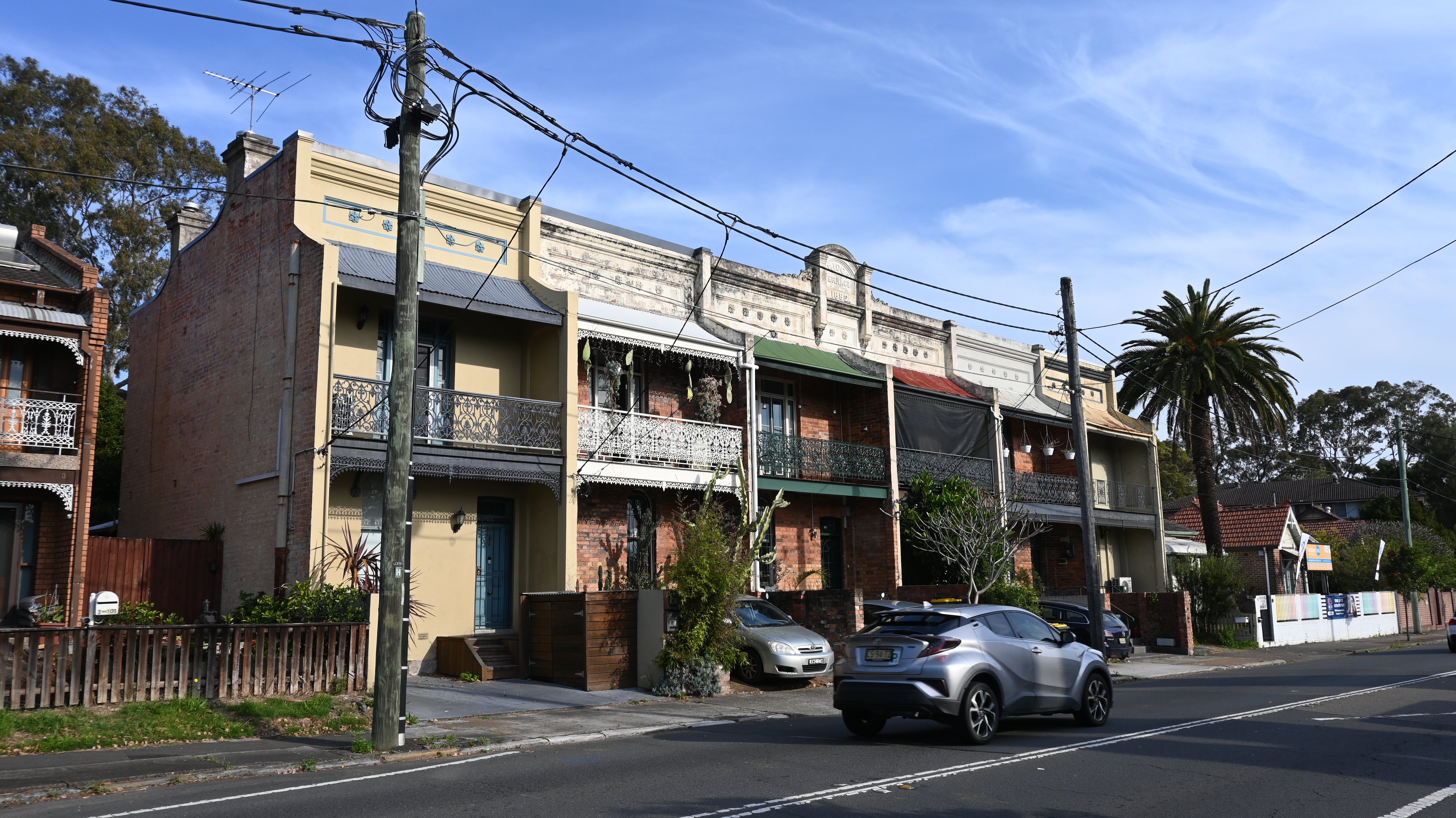
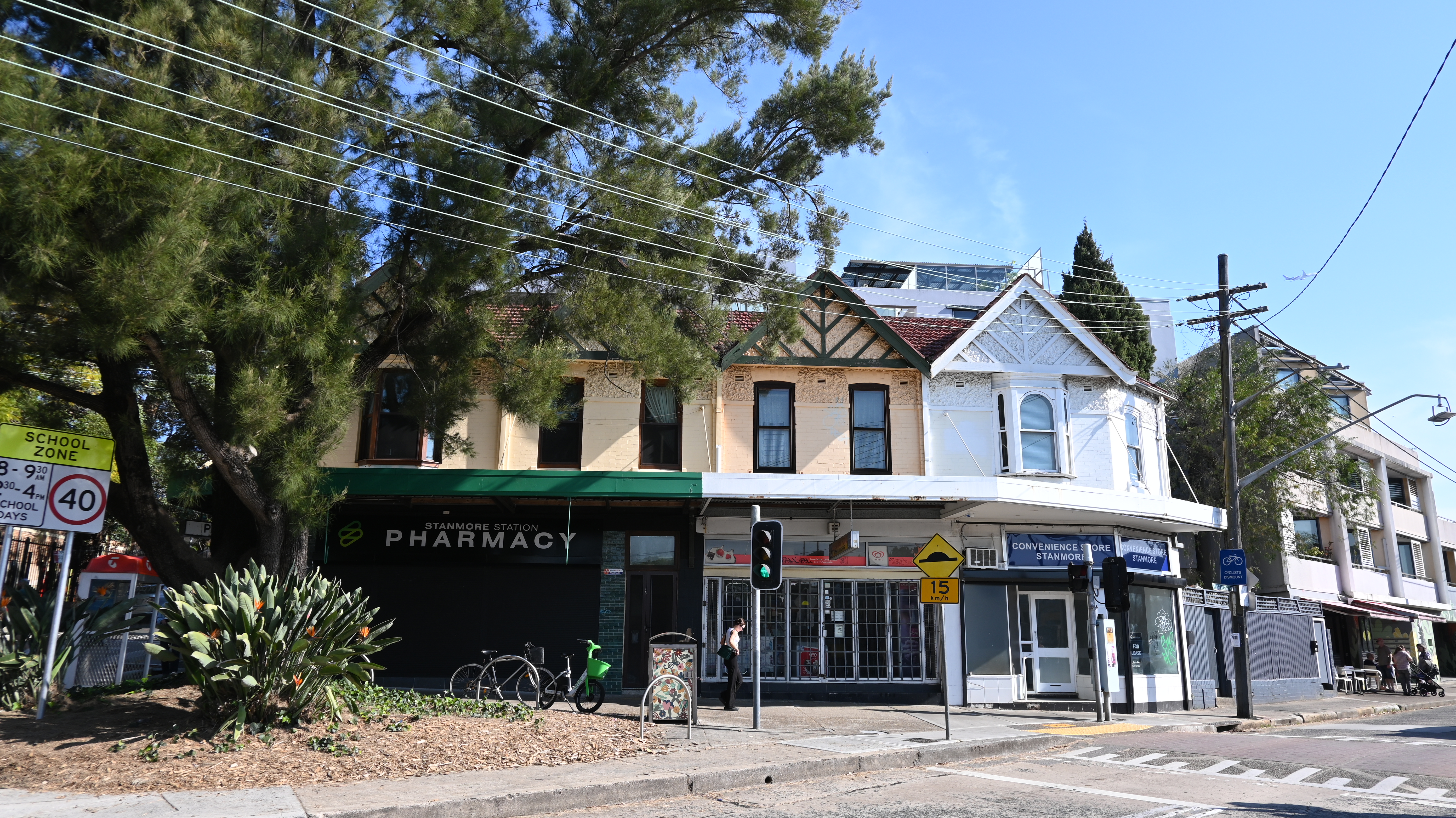
This includes highly visible heritage items or areas, including rows of 1880s terraces at Ashfield at Frederick St, corner shops at Leichhardt, and the well-known Stanmore station shops.
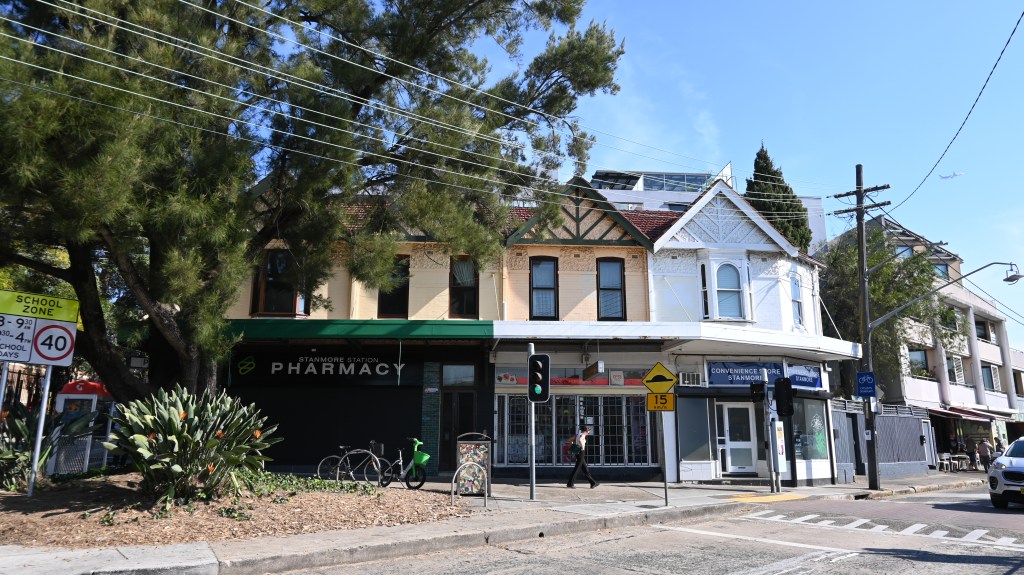
Cambridge St Stanmore station shops (proposed to be removed from Heritage Conservation Area) 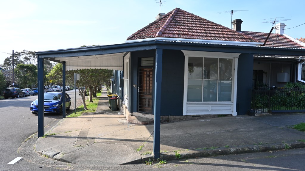
Hill St Leichhardt corner shop (proposed to be heritage delisted) 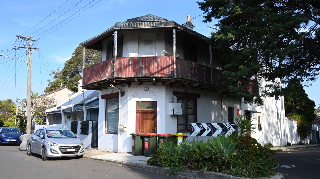
Corner shop at Hill St Leichhardt to be removed as heritage item 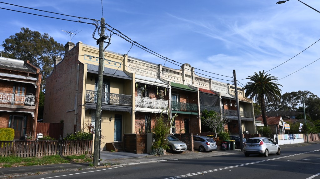
Frederick St Ashfield terraces (proposed to be removed as heritage items) 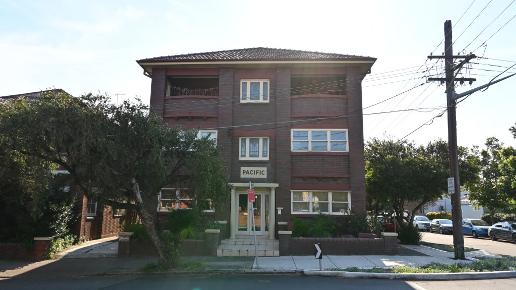
Unit block proposed to be removed from Heritage Conservation Area in Stanmore 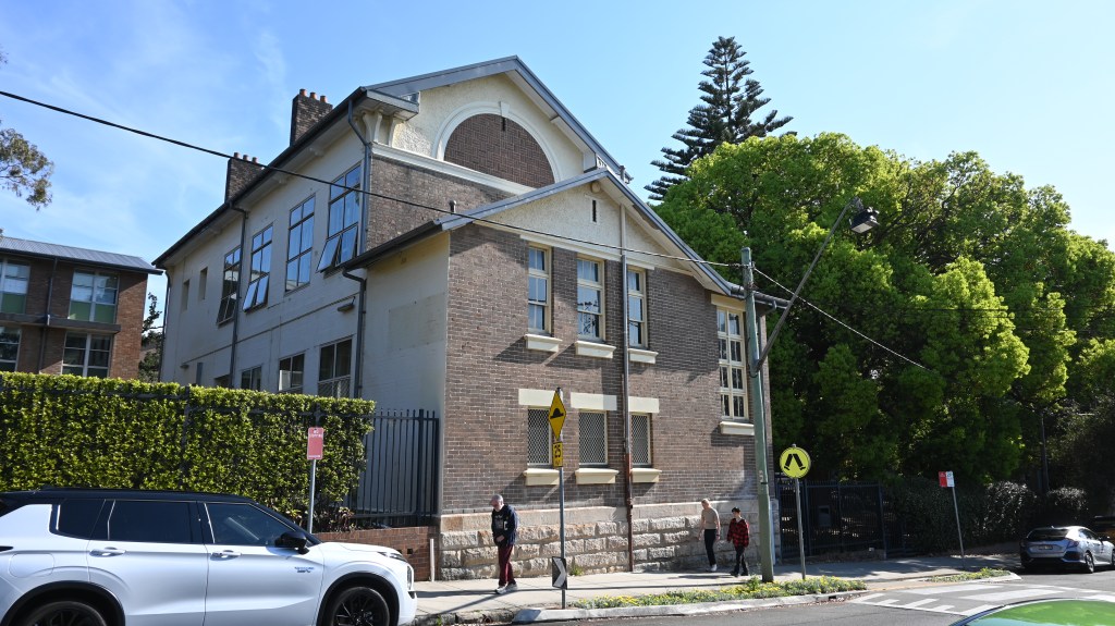
Stanmore Public School proposed to be removed from Heritage Conservation Area 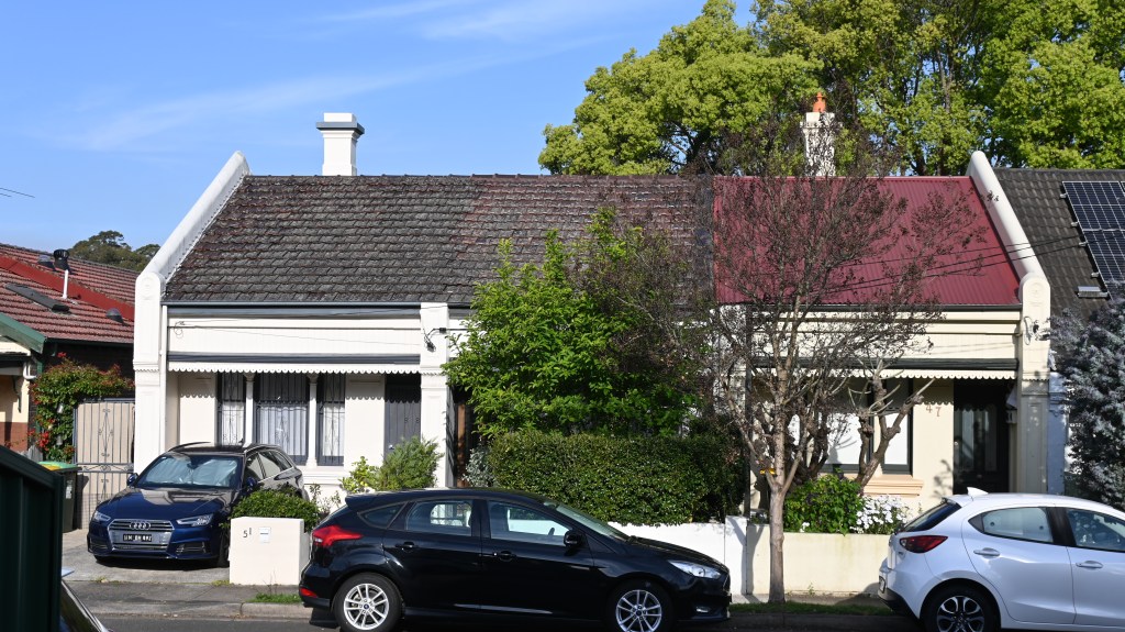
Croydon St Croydon terraces proposed to be removed as heritage items
- There is very poor summary information
Unfortunately, there is no overall map showing the impacts as a whole in a simplified fashion. So I’ve created the map you can see below to try to give an idea.
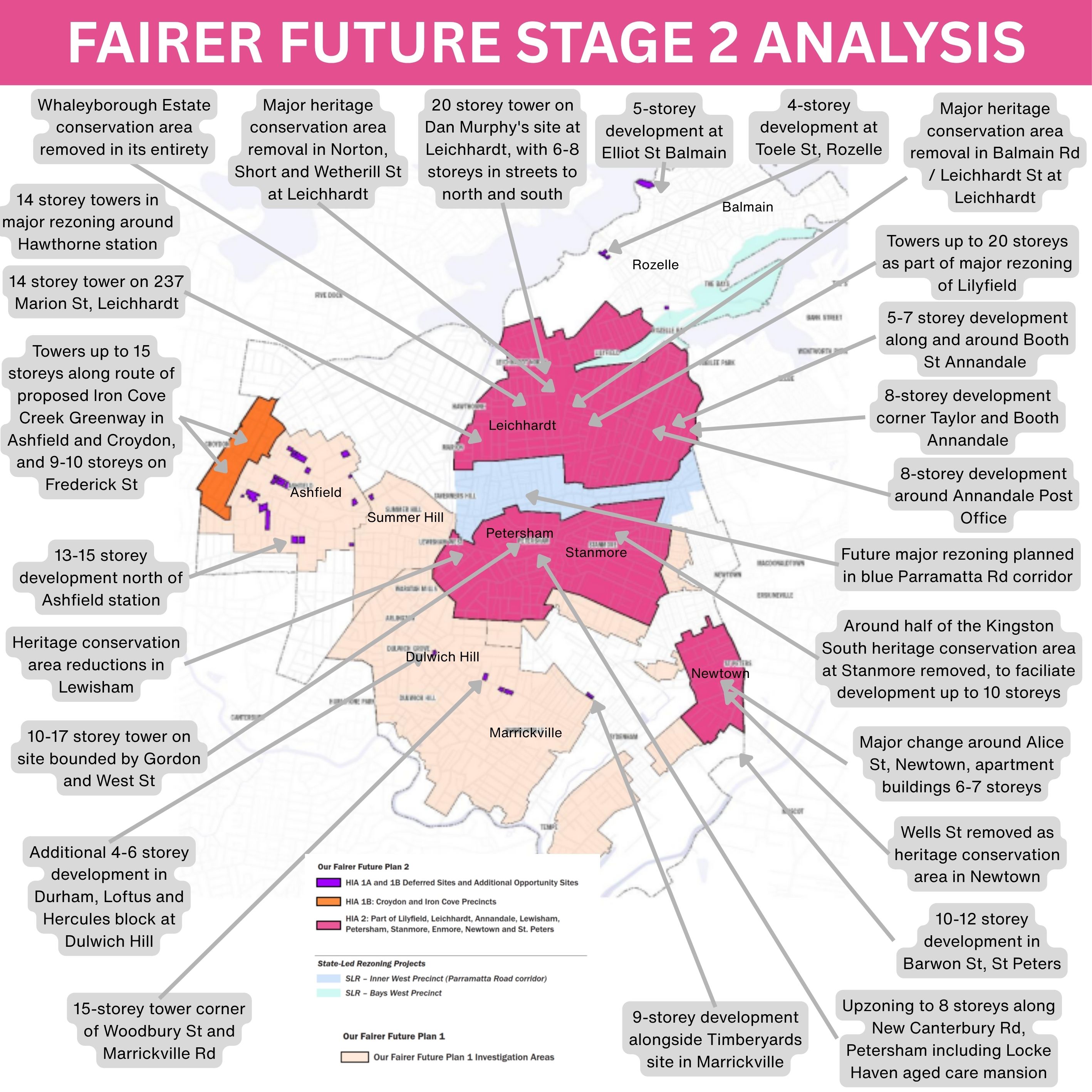
This map shows the sheer scale of the changes across the Inner West.
Please note that this map is not official, and has probably missed things, tries to interpret complicated information, and everyone should do their own research and not rely on this for their investigations.
- The planning change will be huge
For decades, the Inner West’s built form has largely been tightly packed but historic and lower density housing, with higher densities in town centres and former industrial areas. There’s also been plenty of three-storey 1960s and 1970s unit blocks.
The change, over time, has typically been incremental and orderly.
The second stage of Fairer Future is about to introduce sudden and dramatic change.
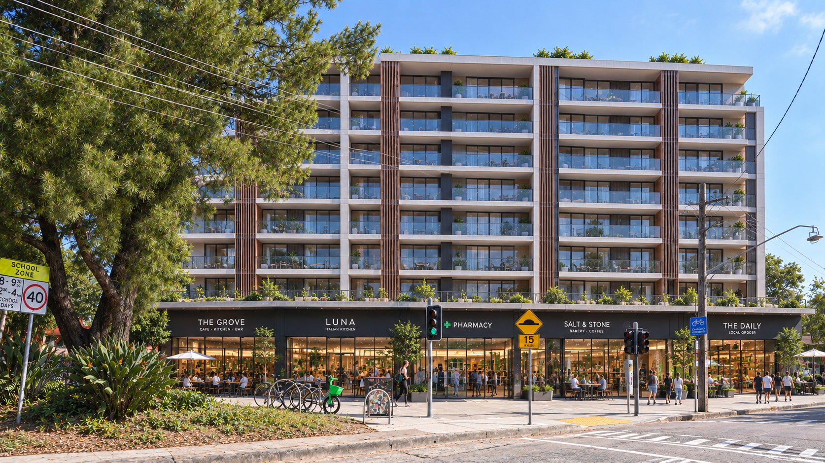
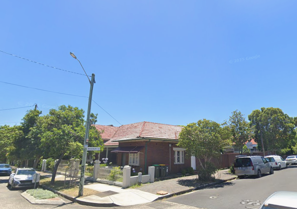
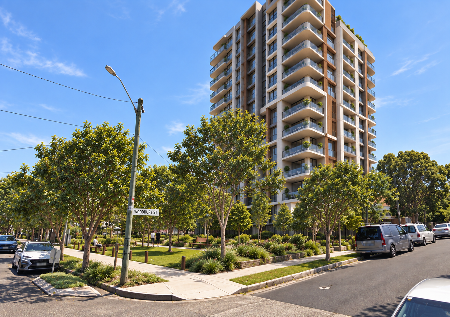
This plan is proposing a string of tall towers, including
- 20-storeys on the Dan Murphy’s site at Leichhardt,
- 20-storeys near Lilyfield Rd at Lilyfield
- 15-storeys at a random spot halfway down Marrickville Rd, Marrickville
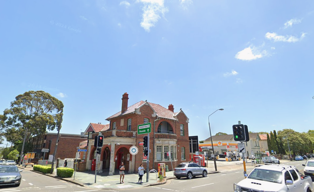
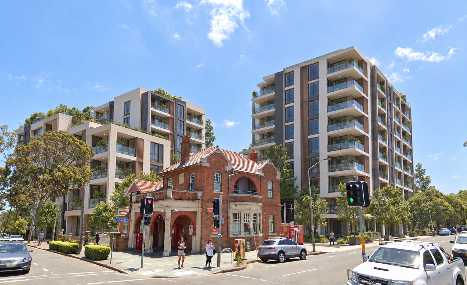
- 10-storeys alongside Stanmore station
- 15-storeys alongside the future Iron Creek Greenway at Ashfield and Croydon.
The plan also comes back for more in some of the first stage areas, including rezoning an entirely new block of Dulwich Hill when the Councillors only asked staff to examine a rezoning in one street.
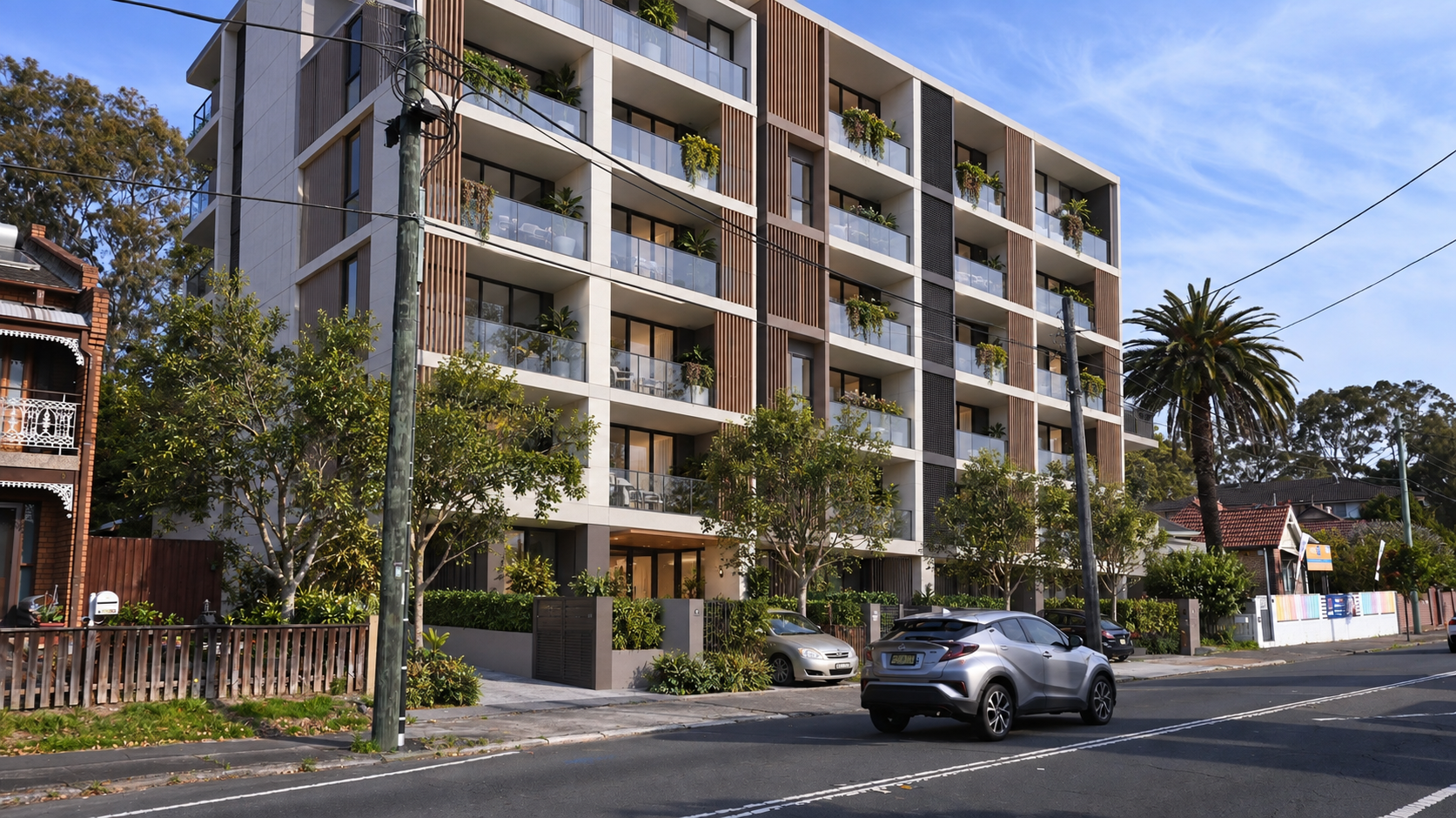
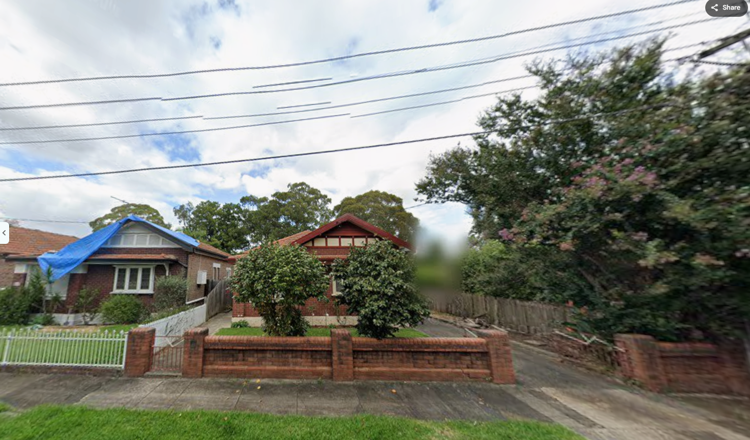
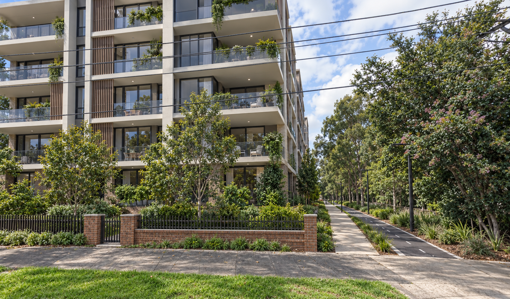
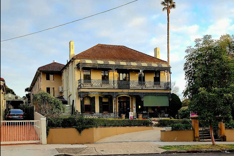
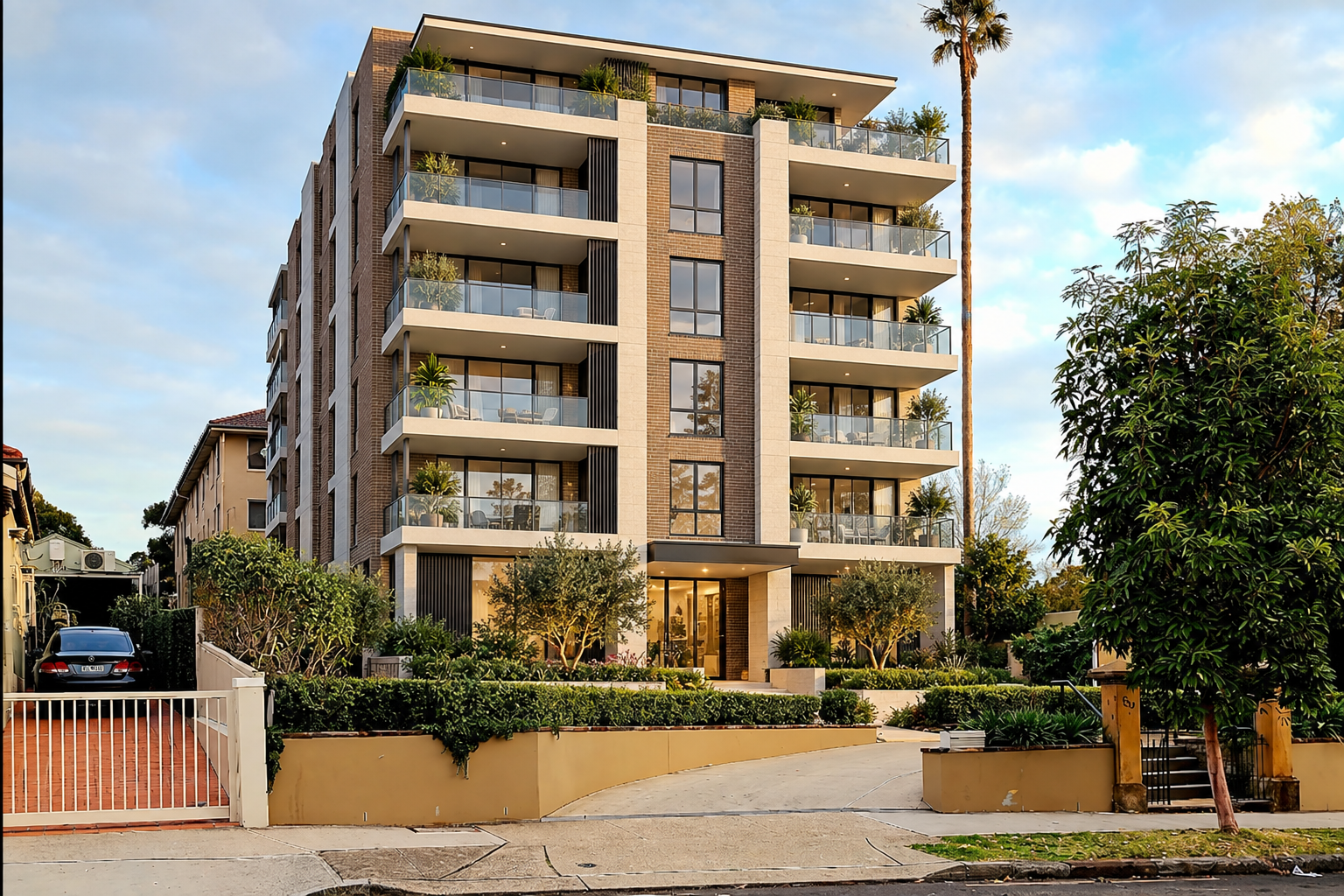
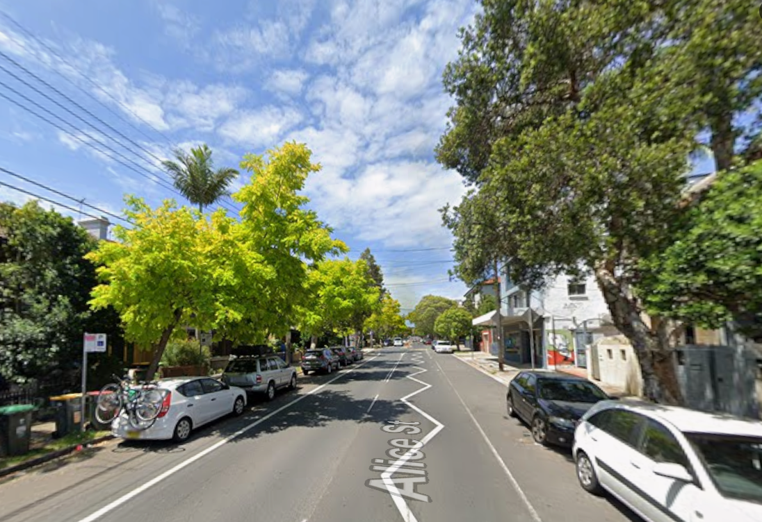
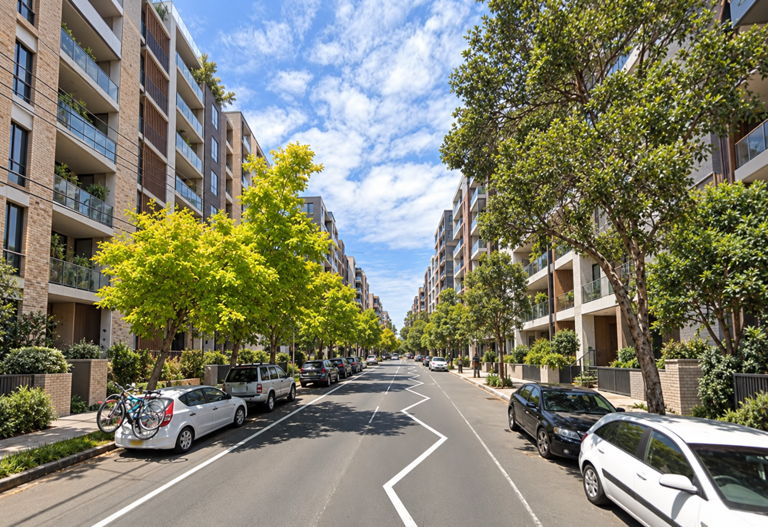
Below are some before and after slider photos which seek to show how some of this development may look.
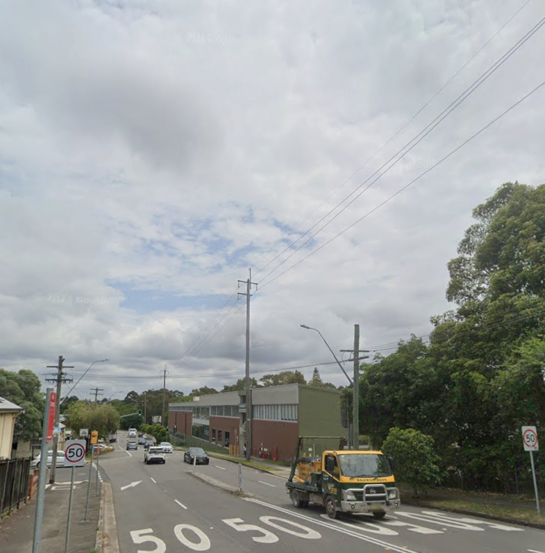
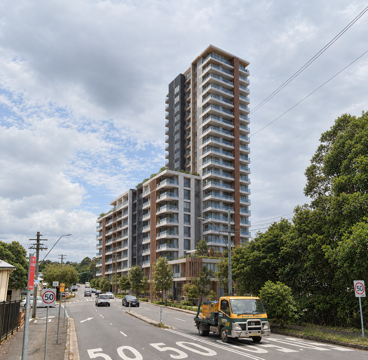
- It’s diabolically complicated
It’s almost impossible to find out how your property may be impacted, even if you’re a professional planner.
First, there’s the first stage of Fairer Future which has already been submitted to the NSW Government for approval, with its own interactive ‘before and after’ planning control slider map.
Then there’s this plan, with its own separate planning control map.
But not all rezonings are shown on this slider map, with ‘key sites’ shown in a separate offline urban design document.
Then there’s various Council height and floor space incentives, shown on a separate tab in the slider map which may or may not apply to various sites, and then there’s other NSW Government incentives which are not shown at all.
Then there’s the fact the council is refusing to brief communities about what it is planning, either on an LGA, Ward or suburb by suburb basis.
If the council is so proud of this plan, why is no-one from the council prepared to stand up and talk to the community about it?
And why is it not publishing useful summary material, including promoting the proposed dwelling numbers for each suburb? Or artist’s impressions?
Which means that community members, if they want to learn more, need to come to an ‘ask the planner’ session.
But what’s the point if you don’t know what questions to ask in the first place, because it’s hard to find what’s proposed?
- It is not accompanied by an infrastructure plan
The council acknowledges that the two stages of Fairer Future will create 10,000 dwellings over the next five years.
It’s not clear how this relates to any NSW Government projection or target. The 15 September covering report doesn’t say.
It’s possible this is more than what the NSW Government reforms would have created, because the council says its reforms are underpinned by feasibility analysis but claims the government did not do this.
However, what is clear is that there is no detailed infrastructure plan to support this level of growth, particularly State public transport infrastructure.
There is an unfunded wish-list of potential State projects, but that’s it.
This is despite the fact that the 15 September Council report notes that planned housing growth could increase public transport demand by up to 35% over the next 15 years.
This is potentially reckless planning – rezoning land for extreme growth without a transport plan in place.
Separately, there is no analysis of the current and future open space per person benchmarks, nor whether there will be a net increase in affordable housing, or local or State social infrastructure.
When open space is created, it’s generally only through rezoning currently low-density areas for high-rise development (such as in Croydon) which in turn places pressure on the open space which is being created.
- The impacts will be lumpy
As mentioned above, I was unable to find an analysis of the number of dwellings which will be created in each suburb.
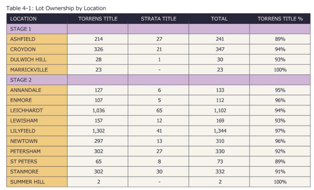
Instead, you have to go to page 477 of the second of two 500 page attachments, in a consultant development feasibility attachment, to see how many properties could be subject to planning control uplift in each suburb in the second stage of Fairer Future.
This is shown below, and shows that Lilyfield will be the hardest hit suburb, followed by Leichhardt (again) and then Croydon.
However, other suburbs got off almost scot free, including Summer Hill, Hurlstone Park, Rozelle and Balmain.
- There’s more to come
It’s expected that the NSW Government Parramatta Rd rezoning will be released in coming weeks, delivering another 8,000 or so homes.
And a further 3-5,000 are still to come in the Bays West Precinct.
And it also doesn’t cover a range of other State significant development underway, including on the former Cyprus Club at Stanmore and in Terrace Rd at Dulwich Hill.
All coming with their own additional infrastructure and character change challenges.
Conclusion
There is dramatic and sudden change coming to the Inner West.
The Fairer Future plan will deliver significant levels of housing supply, and this is likely to help more people live in the Inner West at a price point which is more affordable than buying or renting a current cottage or terrace.
However, there is a point at which poor planning can undermine housing affordability benefits, particularly if the infrastructure is not there to support growth and the Inner West’s suburbs lack liveability and any unique character.
The question is how close Fairer Future comes to this tipping point.
What is certain is that, as a result of this plan, the Inner West we all currently know and love will soon cease to exist.

Discover more from Changing Sydney
Subscribe to get the latest posts sent to your email.

 Changing Sydney